WELLINGTON, March 28 (Xinhua) -- New Zealand has been extensively mapped in 3D, offering a powerful tool for economic planning, land management, and risk assessment, senior officials said on Friday.
"With 80 percent of New Zealand now mapped, we can analyze most of the country at once, rather than taking a fragmented region-by-region approach," said Land Information Minister Chris Penk.
Captured via aircraft fitted with LiDAR (Light Detection and Ranging) technology, the data offers precise, meter-level accuracy, helping track natural and manmade changes, from erosion and shifting rivers to new developments, Penk said, adding this has enormous value for decision-making, planning, and modelling.
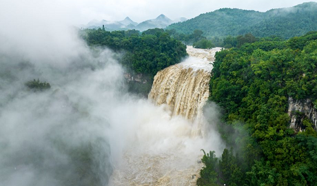
The high-resolution maps, funded in part by a 14.6 million-NZ dollar (8.37 million U.S. dollars) Provincial Growth Fund grant, are already helping councils model flood zones, identify landslide risks, create hazard maps and improve disaster recovery efforts.
Associate Regional Development Minister Mark Patterson said these maps also enhance forestry planning, boost agricultural productivity, and support environmental management, as well as help councils monitor compliance, track earthworks, and assess changes in land use. ■
点击右上角 微信好友
微信好友
 朋友圈
朋友圈

请使用浏览器分享功能进行分享
![]()