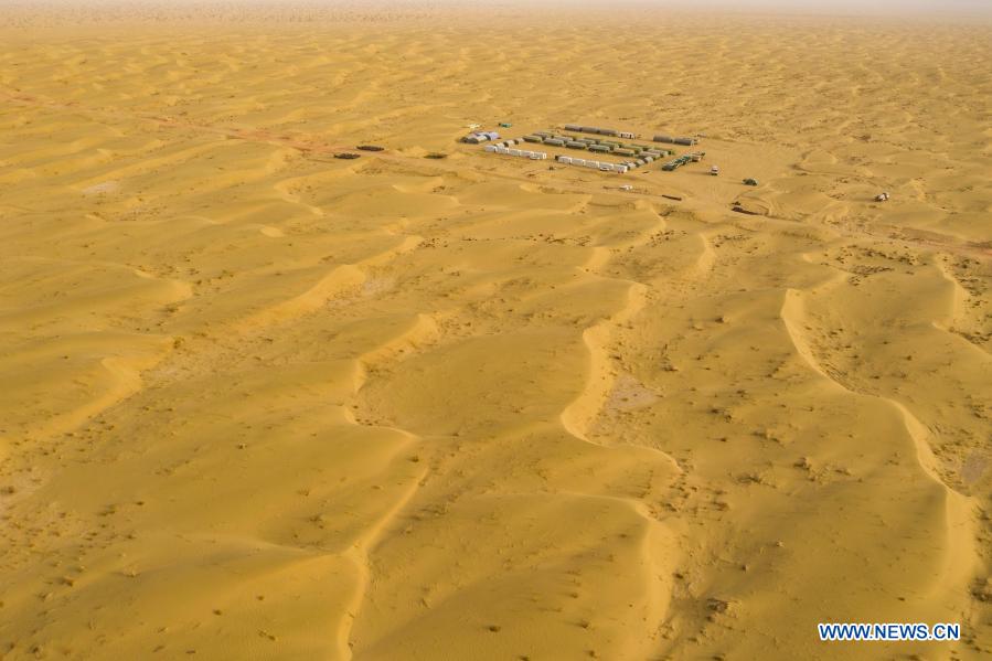
Workers and researchers start geophysical survey work in Taklimakan Desert, Xinjiang
Aerial photo shows the camp site of the geophysical survey team in the Taklimakan Desert, northwest China's Xinjiang Uygur Autonomous Region, Feb. 25, 2021. Taklimakan Desert, located in the Tarim Basin of northwest China's Xinjiang Uygur Autonomous Region, is a major petroliferous region in China and one of the most difficult to explore due to its harsh ground environment and complicated underground conditions. To explore the oil and gas resources requires multiple processes including conducting geophysical survey, so as to collect seismic data to lay a solid foundation for further exploration. To perform the task, workers and researchers here have to overcome various challenges and difficulties posed by nature. Every year, lots of workers from China's Yunnan, Qinghai and Gansu provinces come here to start geophysical survey work from October to March in the next year, the most favorable time. (Xinhua/Hu Huhu)
[ Editor: Zhang Zhou ]


More From Guangming Online
Medics from Fujian leave for Shanghai to aid in battle against COVID-19 resurgence
New int'l land-sea transport service to Indo-China Peninsula launched
Another makeshift hospital under construction in Shanghai
Tourists view tulips in Suiping County, Henan
In pics: blooming gagea flowers on grassland in Zhaosu, Xinjiang
Greek workers stage 24-hour general strike over high prices